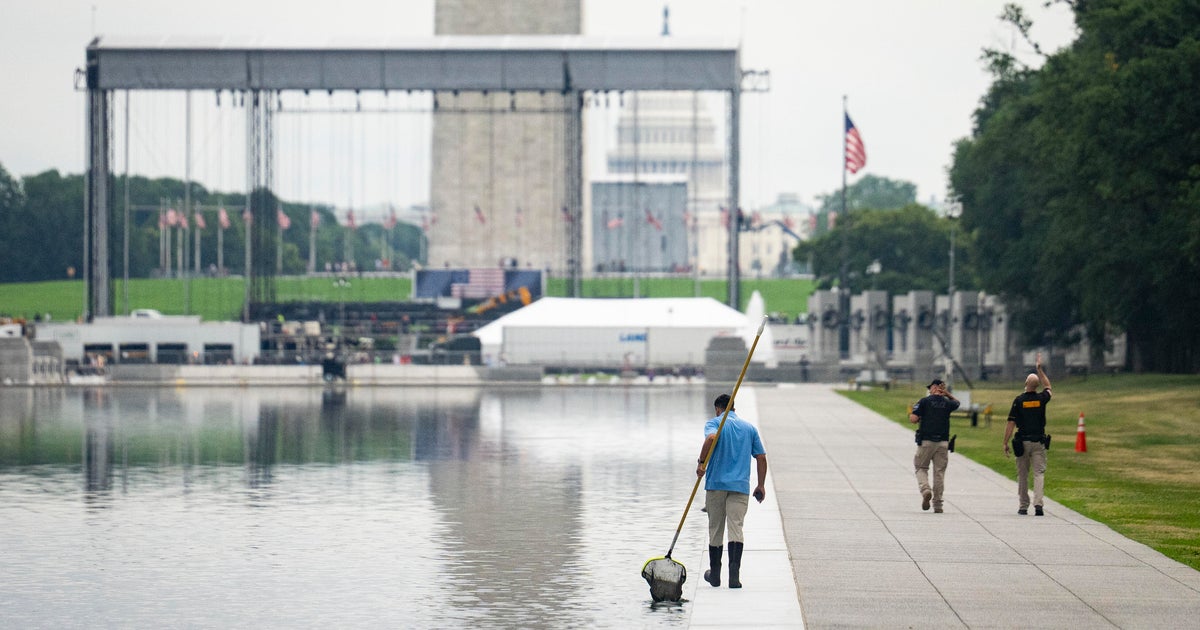

A continuous 91-kilometre path along Sydney’s waterfront is a step closer under plans to join a series of missing links on the long-vaunted route from the Opera House to Parramatta Park.
The state government will spend $4.5 million to complete several sections of the path in the inner west and advance the track through 18 suburbs along Sydney Harbour and the Parramatta River.
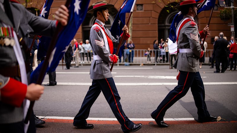
Transport Minister John Graham said the government hoped to build on the popularity of the inner west GreenWay and the 80-kilometre Bondi to Manly track by devising the state’s first walking strategy to plan infrastructure and celebrate Sydney’s “incredible geography and exercise culture”.
“Whether it’s locals getting some exercise or international tourists in awe of our city, we have some of the most stunning urban walks in the world – we just need to connect them better,” Graham said.
About 68 kilometres of the route between Woolloomooloo and the Parramatta city centre are already accessible via shared pathways, while roughly 23 kilometres still require planning and construction.
The route was identified in the government’s 2017 Sydney green grid plan, which envisaged interconnected walking and cycling routes throughout the city. A proposal was spruiked by the Labor-aligned public policy think tank The McKell Institute during the coronavirus pandemic in 2020, and embraced by former Coalition premier Dominic Perrottet, who said he “loved” the idea.
The institute said at the time that Sydney’s foreshore, particularly along the Parramatta River, had “considerable untapped potential”. But it conceded construction of the project – which it had estimated could cost between $200 million and $300 million – would face hurdles along sections of the route where home owners had waterfront access.
Transport for NSW said it was working with local councils to deliver simple upgrades to some sections of the route in the short term, while forging ahead with site investigations and planning for other segments to be delivered in the future.
The funding will be provided to Canada Bay Council to deliver new and upgraded 3½-metre-wide shared paths, lighting and raised crossings connecting Allison Park, Campbell Park and Lysaght Park in Chiswick; Wire Mill Reserve in Chiswick; and Shadrack Shaw Reserve in Concord.
Upgrades to the route at Timbrell Drive and Henley Marine Drive, near Millar Street and Nield Park, are designed to improve access to the seven-kilometre Bay Run loop in Leichhardt and Drummoyne.
Further west, work has already started on $2.3 million of upgrades at Brodie Street in Rydalmere and George Street East, through Queens Wharf, in Parramatta.
Construction on the Bennelong Parkway Bridge project, between Wentworth Point and Sydney Olympic Park, is due to start mid-year.
In a discussion paper prepared to inform the walking strategy, Graham said demand for pedestrian access was growing in NSW, but authorities had not always kept up.
“Too many communities are held back by missing footpaths, unsafe crossings and disconnected routes. In some places, walking is easy and enjoyable. In others, it is difficult, inconvenient or unsafe,” Graham said.
He said tackling that inconsistency was one of the most critical challenges for local and state governments, noting many improvements would “take time and significant investment”.
Start the day with a summary of the day’s most important and interesting stories, analysis and insights. Sign up for our Morning Edition newsletter.