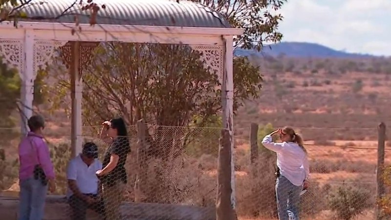

When Natalie Taylor and her husband Jake bought a rural block in Logan Village, south of Brisbane, they had grand plans to make it a sanctuary for their children, three of whom have disabilities.
They had built a granny flat so when their kids grew older, they would never need to go into supported housing – something the parents were staunchly against.
But Natalie and Jake settled on the property in March 2025, the couple realised those plans had become more difficult to pull off.
Logan City Council updated their flood maps, and the property as now considered at high risk of flooding.
“We were reading through it all, and it actually imposed really strict planning restrictions on the property,” she said.
Flood mapping, and its effect on property owners, has become the single biggest political issue for the council in Logan, where Facebook groups discuss it ad nauseam.
Earlier this month a former mayor and a former MP accused the council of illegally uploading maps. Mayor Jon Raven said he thinks about the issue “from the moment I wake up until I go to bed”.
The maps have been updated twice since 2023, both times using temporary local planning instruments (TLPIs) that allow the council to make fast changes as they undertake permanent changes to the city plan.
When Taylor realised how many people were in the same boat, she started a flood mapping action group, now linked to the disgruntled former mayor John Freeman and the Logan Ratepayers Association.
“We were receiving letters in the mail, and there were a lot of us who were really stressed out,” she said.
She said many people only realised their property rights were changing when they got their insurance bills, some of which had jumped by thousands of dollars annually, or had their coverage cancelled completely.
Since the update, the council has been desperate to calm residents. The maps, already reviewed twice by companies involved in the process, are now being looked at again by the advisory service Restore Blue.
Flood engineer Martin Roushani-Zarmehri, owner of the private consultancy StormFlood, has worked extensively in Logan, and said the new maps are much more risk-averse, which is not a bad thing.
But they do put financial pressure on landholders hoping to develop their land.
“Flood maps achieve their purpose by providing flood risk awareness to the public, which is the primary goal of floodplain managers,” he said.
“On the other hand, these flood maps have become quite prohibitive to development and building works on flood-prone land.
“How the flood mapping is currently being applied in a planning sense is indeed inflexible in some situations, and at other times can even be illogical.”
He said the council’s flood modelling can cost up to $5000, on top of already expensive engineering work required to meet the council’s needs.
“The price of detailed and site-specific advice do easily run into the thousands of dollars, which most residential landowners don’t have spare,” Roushani-Zarmehri said.
These costs hang over the Taylors’ dream of building a small home for at least one of their sons, who therapists have said will likely need to live in supported living at some stage.
“I don’t see how we’re going to be able to afford that – it’s not realistic for families,” Taylor said.
Roushani-Zarmehri said flood mapping was a constantly changing space, as governments must account for the effects of climate change and the bigger, faster floods the future likely holds.
“In hindsight, if we had the same flood model data today as we did back then, we wouldn’t be seeing some of these properties zoned the way they have, especially residential properties,” he said.
A spokesperson said Logan City Council was working to ease the burden of the small developments on landholders affected by the flood maps.
The council has said the Restore Blue investigation, which began in February, would take roughly three months.
Start the day with a summary of the day’s most important and interesting stories, analysis and insights. Sign up for our Morning Edition newsletter.